Ecosystem Planning and Management
Spatial Architecture, Wildlife Migration Corridors & Statutory Master Planning
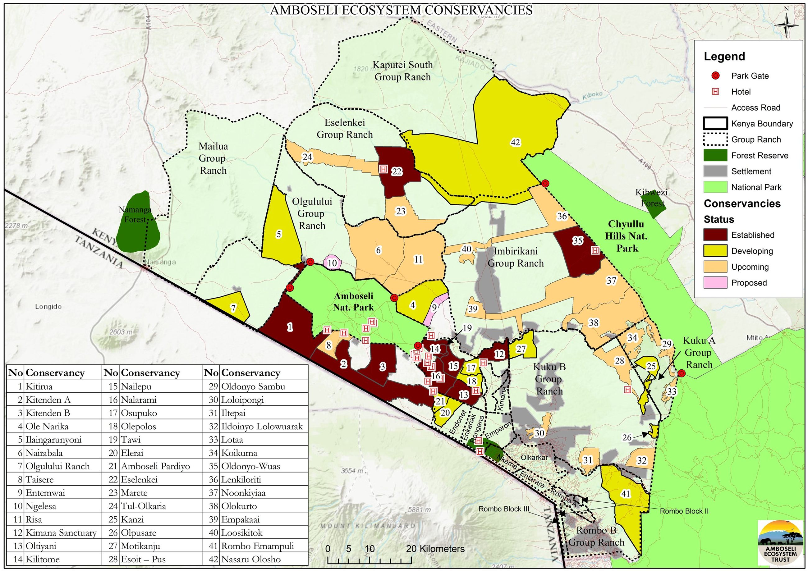
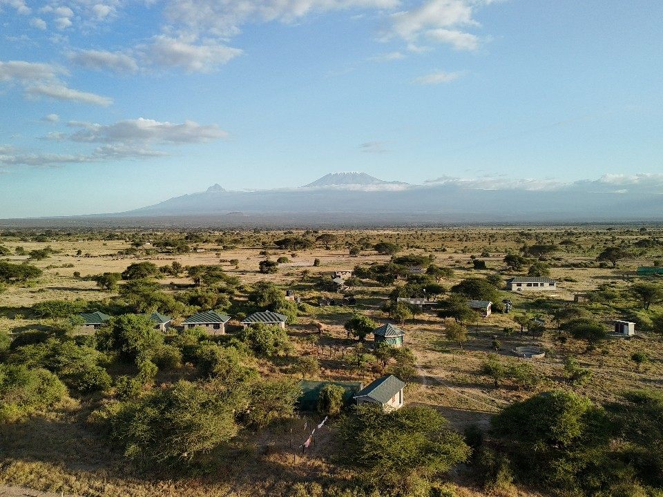
Securing open wildlife corridors, preventing habitat fragmentation, and guiding sustainable community land use across 1.36 million contiguous acres connecting Amboseli National Park, Chyulu Hills, and Mount Kilimanjaro.
Subdivision & Corridor Blockage
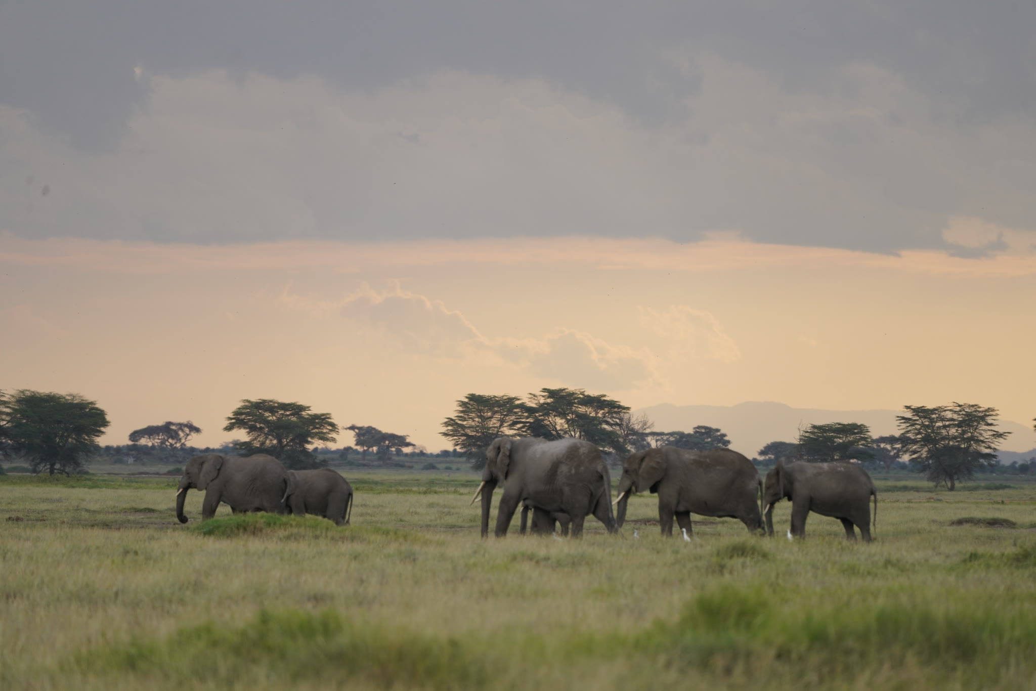
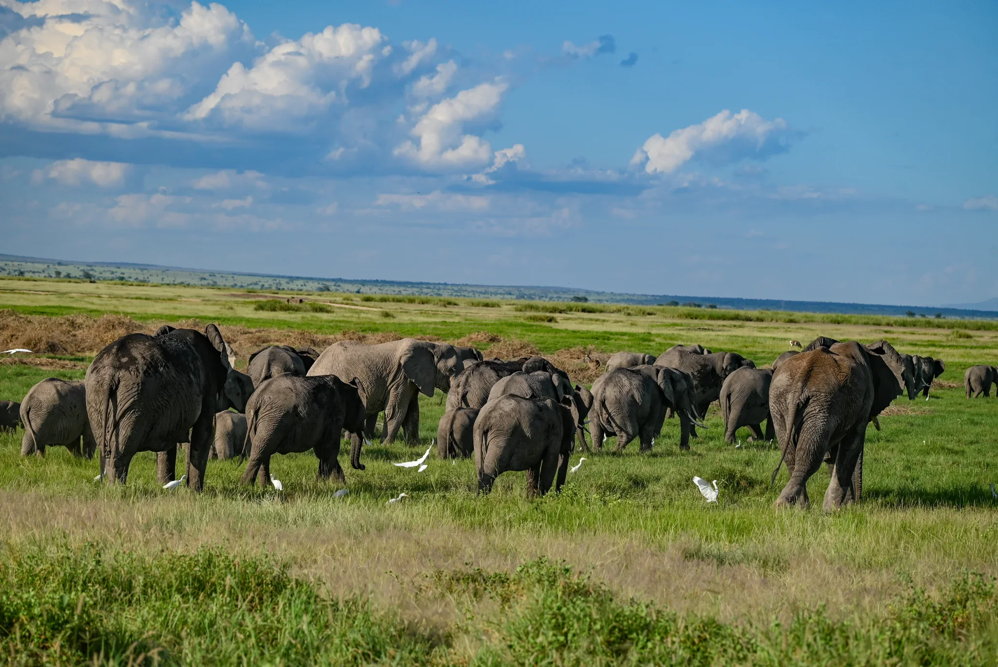
Former communal group ranches are being subdivided into thousands of individual private plots. Without coordinated spatial guidelines, land division leads to electric and wire fences that sever ancient elephant migratory routes connecting Amboseli with Chyulu Hills and Kilimanjaro, exacerbating human-wildlife conflict and pastoral rangeland loss.
- • Fencing Pressure: Fences cut off vital migration corridors between Amboseli, Chyulu Hills, and Tsavo.
- • Pastoral Land Loss: Fragmented pastures disrupt traditional rotational grazing, threatening livelihoods.
Coordinated Landscape Architecture
AET coordinates landowners, county leadership, and Kenya Wildlife Service (KWS) to manage the landscape as one contiguous, interconnected ecosystem:
- ✓ Gazetted Master Plan: Coordinating the legal Amboseli Ecosystem Management Plan (AEMP) across all 42 member conservancies.
- ✓ Voluntary Easements: Securing legally binding, deed-restricted corridors keeping ancient migratory pathways unfenced.
- ✓ Community Zoning: Supporting community zoning plans that clearly designate pastures, farming, and settlement areas.
Main Activities & Solutions
Structured field workflows implemented with pastoral communities, Kenya Wildlife Service, and county government.
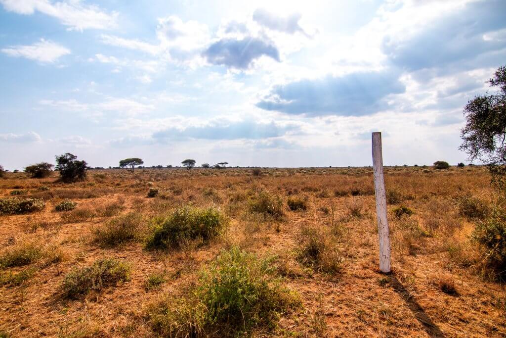
 ACTIVITY 01
Connectivity • 5 Corridors
Wildlife Migration Corridor Protection
Tracking elephant movements via GPS collars and securing voluntary agreements with landowners to keep migration bottlenecks unfenced.
- • 5 critical wildlife corridors mapped & protected
- • Voluntary landowner conservation easements
 ACTIVITY 02
Statutory Blueprint • 2 Plans
Master Plan Coordination & Gazette
Guiding the gazetted Amboseli Ecosystem Management Plan (AEMP) with KWS and Kajiado County across 1.36 million acres.
- • 2 gazetted statutory management plans
- • County spatial planning synchronization
 ACTIVITY 03
Spatial Zoning • Barazas
Community Land-Use Plans & Zoning
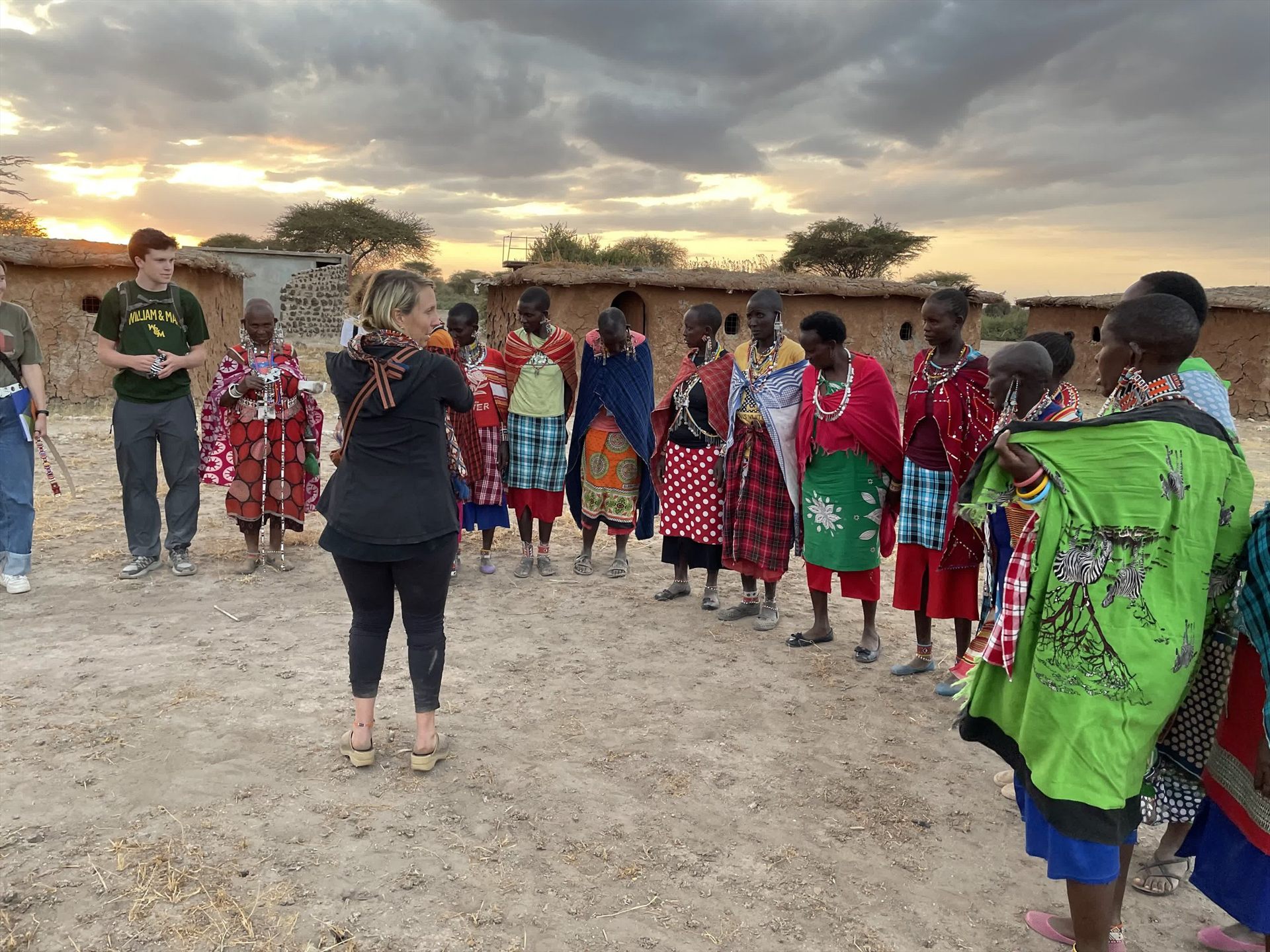
Facilitating community barazas and GPS boundary surveys to establish communal borders for rotational pastures and settlements.
- • 3 community participatory land-use plans
- • Zoning livestock, settlement & wildlife cores
 ACTIVITY 04
Audits • NEMA Compliant
Strategic Environmental Assessments
Conducting Strategic Environmental Assessments (SEAs) for roads and lodges to protect freshwater springs and biodiversity.
- • 3 comprehensive SEA environmental reports
- • NEMA compliance & aquifer catchment safety
Verified Ecosystem Planning Indicators
Official records from AET Achievement.xlsx Section D tracking statutory master planning, conservancy acreage, and environmental assessments.
| # | Indicator Description | Metric Type | Reported Total |
|---|---|---|---|
| 01 |
No of Amboseli Ecosystem Management Plans developed
|
Statutory Plans | 2 |
| 02 |
No of Conservancy with Management Plan
|
Conservancies | 5 |
| 03 |
Number of Conservancies in the ecosystem
|
Institutional Units | 42 |
| 04 |
Area under conservancies (acres)
|
Acreage | 676,322 |
| 05 |
Area under rangelands (acres)
|
Acreage | 623,678 |
| 06 |
Area of Amboseli Ecosystem (Million acres)
[Audit Verified: 1.366 Million Acres]
|
Landscape Area | 1,366,289 |
| 07 |
Number of Land Use Plans
|
Statutory Plans | 3 |
| 08 |
Number of Grazing Management Plans
|
Zonal Plans | 2 |
| 09 |
No of Strategic Environmental Assessment (SEA) reports developed
|
Statutory Reports | 3 |
Source Verification: Indicator 06 is recorded as “Area of Amboseli Ecosystem (Million acres): 1,366,289” in the source workbook, representing 1.366 million contiguous acres (676,322 acres in community conservancies + 623,678 acres in pastoral rangelands + contiguous park buffers).
Field Operations in Focus
Photographs of participatory land zoning, boundary surveys, corridor monitoring, and GIS operations.
Spatial Zoning • 1.3M Acres
 42 Conservancies
 5 Corridors Mapped
AET Coordination Hub
 Landscape Integrity
Boundary Surveys
Amboseli Ecosystem Management Plan 2020–2030
The officially gazetted master plan guiding land use, resource management, and development across the 1.3 million-acre Amboseli landscape.
Securing Ancient Migration Paths for East Africa's Giants
How collective community spatial zoning halted fencing along the Kimana corridor and preserved open passage to Tsavo.
Explore All 8 Conservation Programmes
Our eight directorates work in lockstep across 1.36 million acres. Select any strategic programme below to inspect its field interventions, verified indicators, and photography archives.
Ecosystem Planning & Management
Spatial land-use zoning, corridor legal protection, and AEMP master plan enforcement across 1.36M acres.
Conservancies Development & Governance
Securing 676,322 acres of communal tenure, democratic land leases, and ecotourism benefit-sharing across 42 conservancies.
Rangeland Management & Restoration
43,600 rainwater harvesting bunds, 15 women seedbanks, and 44 grazing committees restoring 15,000 hectares.
Wildlife Security & Coexistence
744 community rangers, predator-proof bomas, zero elephant poaching, and rapid conflict de-escalation response.
Resilient Community Livelihoods
Grass seedbank enterprise sales (Ksh 4.7M), commercial apiculture with 386 hives, and artisan beadwork exports.
Women & Youth Inclusion
1,021 pastoral women in VSLAs, #Score4Nature athletic leagues for morans, and gender parity in governance.
Institutional Development & Growth
100% unqualified statutory audits, GIS operations lab at Noonkotiak, and sustainable landscape trust funding.
Conservation Education & Awareness
35 partner schools, 744 student eco-club bursaries, experiential park game drives, and elder community barazas.
Support Ecosystem Planning in Amboseli
Your partnership directly funds participatory boundary mapping, wildlife corridor conservation easements, and community land governance across Amboseli.